Some
Of Our Major Work Fields :
•Aerial
Photography
•3D
Modeling and DEM surface.
• Analysis
of Photogrammetric Image.
• Digital
Terrain Modeling ( DTM).
• Digital
Planimetric and Topographic Mapping.
•Site
Developing Maps- Geodesy.
• Highway
GIS Design Mapping
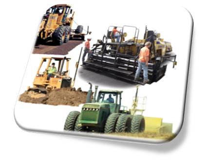
• Ground
Survey.
• Engineering
design and Planning for utility project.
• Digital
Orthophotography.
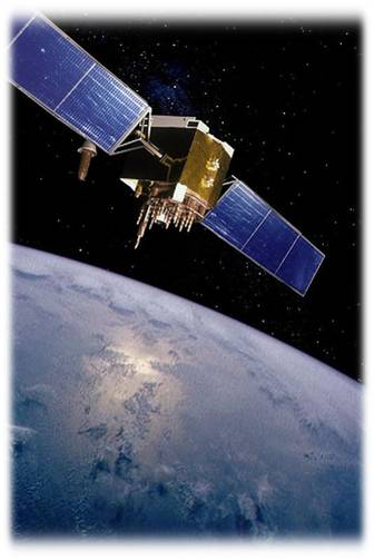
• GPS
(Global Positioning System) GIS (Geographic Information
System).
• Automatic
Vehicle Location.
• Remote
Sensing.
• Reprographic.
• Survey
Training for Field and Photogramm.
• Update
mapping and digitizing (Digital Mapping).
• Satellite
image.
• Cross
Sectioning and Profiling.
• Volumetric
Calculations.